Citation
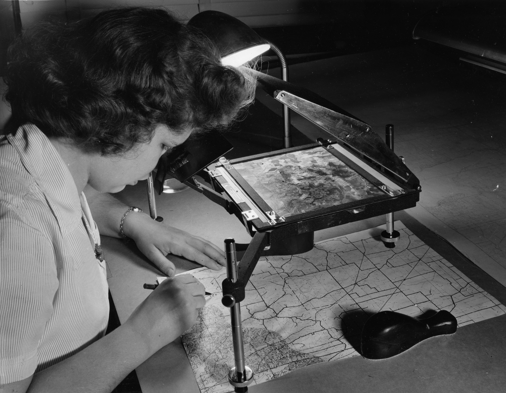
Unknown. “Transferring soil data from aerial photographs to base with the aid of a vertical sketchmaster. (Approx. scale of aerial photographs 1/20,000; Scale of Base 1/31,680).” Special Collections, USDA National Agricultural Library. Accessed October 6, 2024, https://www.nal.usda.gov/exhibits/speccoll/items/show/8236.
 An official website of the United States government.

